-40%
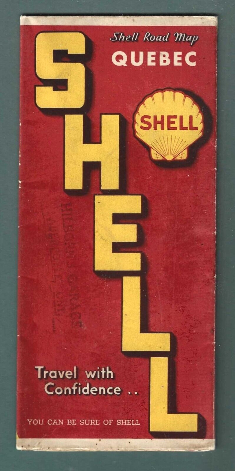
QUEBEC PROVINCE CANADA – ROAD MAP – 1930’S – SHELL OIL COMPANY
$ 3.16
- Description
- Size Guide
Description
QUEBEC PROVINCE CANADA – ROAD MAP – 1930’S – SHELL OIL COMPANYQUEBEC PROVINCE CANADA – HIGHWAY & ROAD MAP published by the SHELL OIL COMPANY - late 1930’s. Large-scale map, multi-color, two-sided, dual language with city grid locater, mileage guide and other info. Map also includes map of the Canadian Maritime Provinces- Nova Scotia, New Brunswick and Prince Edward Islands.
Map measures 4.00 inches by 9.00 inches (folded} and opens up to size 19 inches by 26.5 inches. Undated but likely from late 1930’s.
Map is in very good used condition, no marks, small folds/tears to one edge, light soiling to cover, interior bright.
Actual map offered is pictured in scans.
Shipping is .50 to all US Destinations.
Combined shipping provided for multiple items. Multiple items shipped at same cost as single item
