-40%
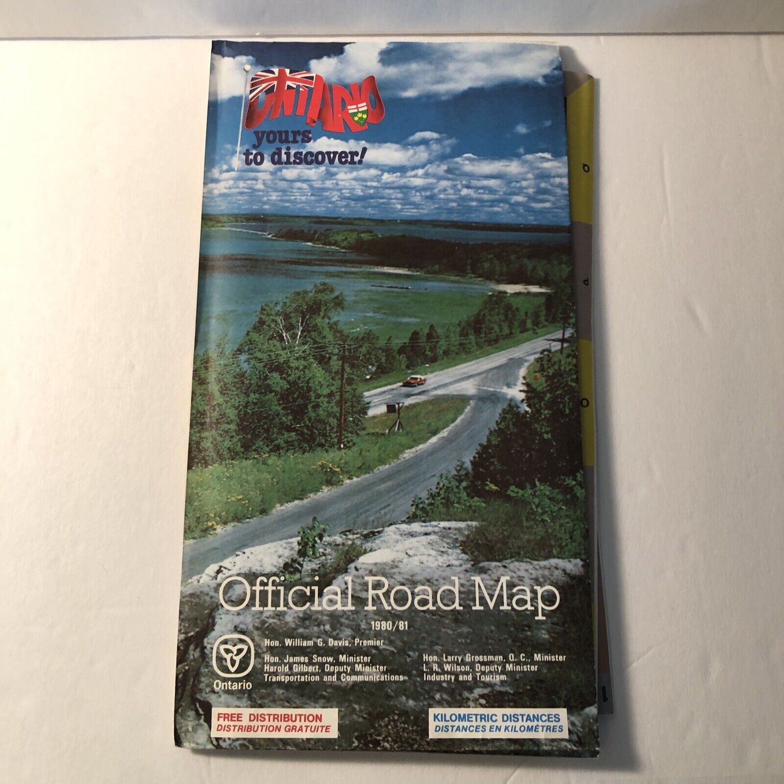
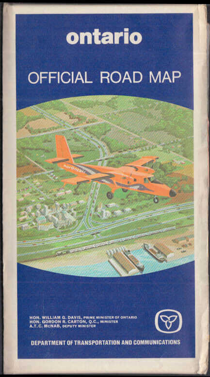
Ontario Offical Road Map 1960 DPT Of Highways Ontario Canada
$ 9.75
- Description
- Size Guide
Description
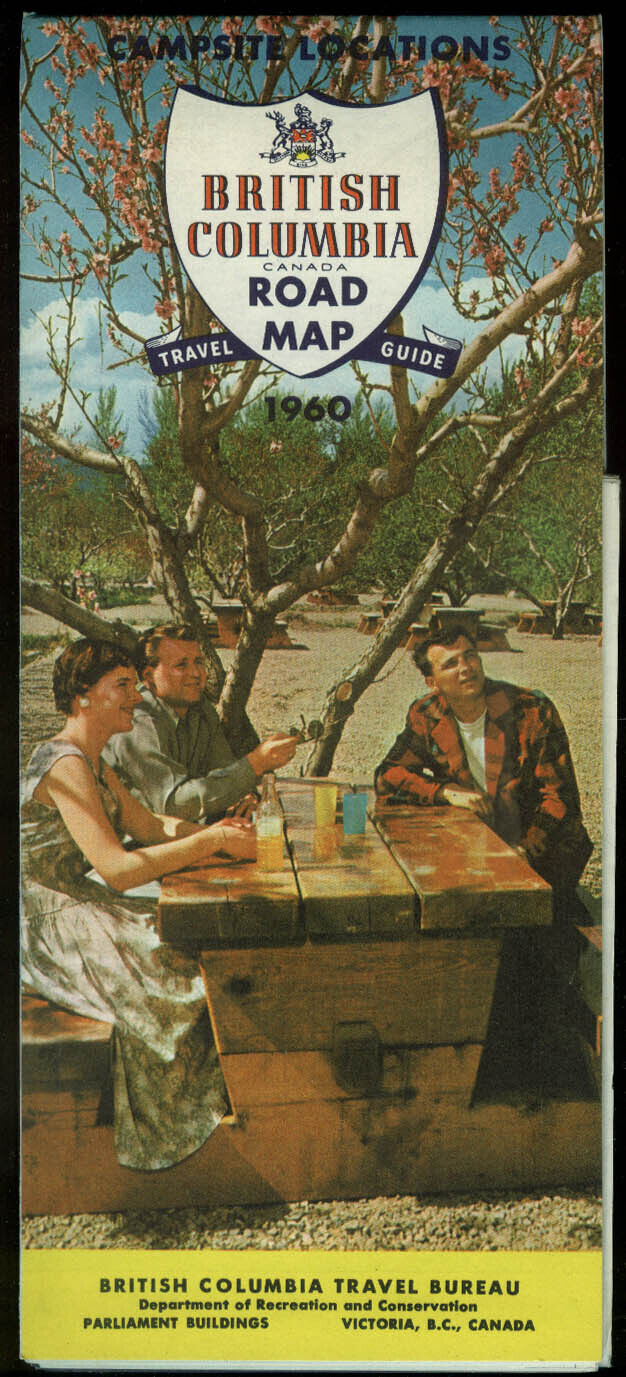
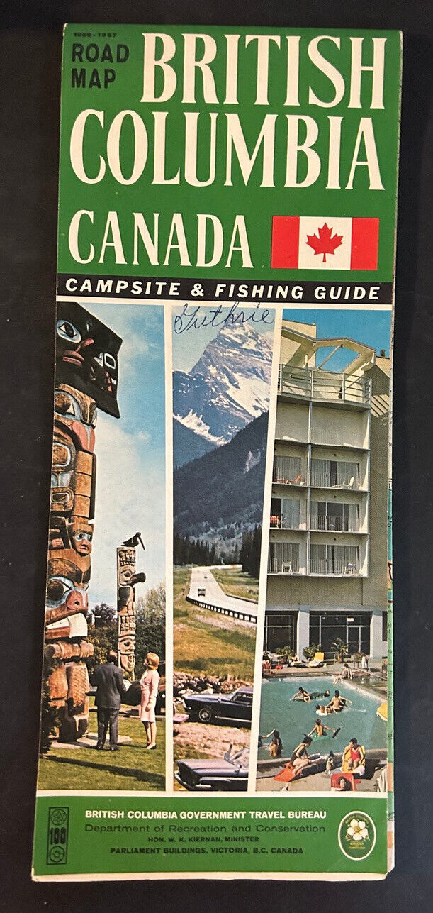
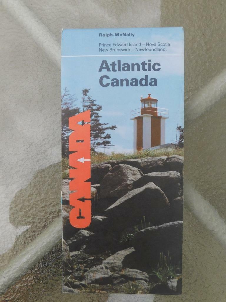
This official road map from 1960 is a must-have for any collector of vintage maps and atlases. With a focus on Ontario, Canada, this map was created by the Department of Highways and features detailed information on the region's roadways. The map is beautifully designed and showcases the natural beauty of Ontario. It's perfect for anyone interested in the history of transportation and travel in Canada.The map was manufactured in Canada in 1960 and has been well-preserved over the years. It's a great piece to add to any collection and can even be used as a unique and eye-catching piece of decor. With its vibrant colors and intricate details, this map is sure to be a conversation starter.
Some wear on front of booklet


