-40%
⫸ 1936-6 June Map CANADA National Geographic - VTG
$ 3.43
- Description
- Size Guide
Description
⫸1936-6 June Map
CANADA
National Geographic
- VTG
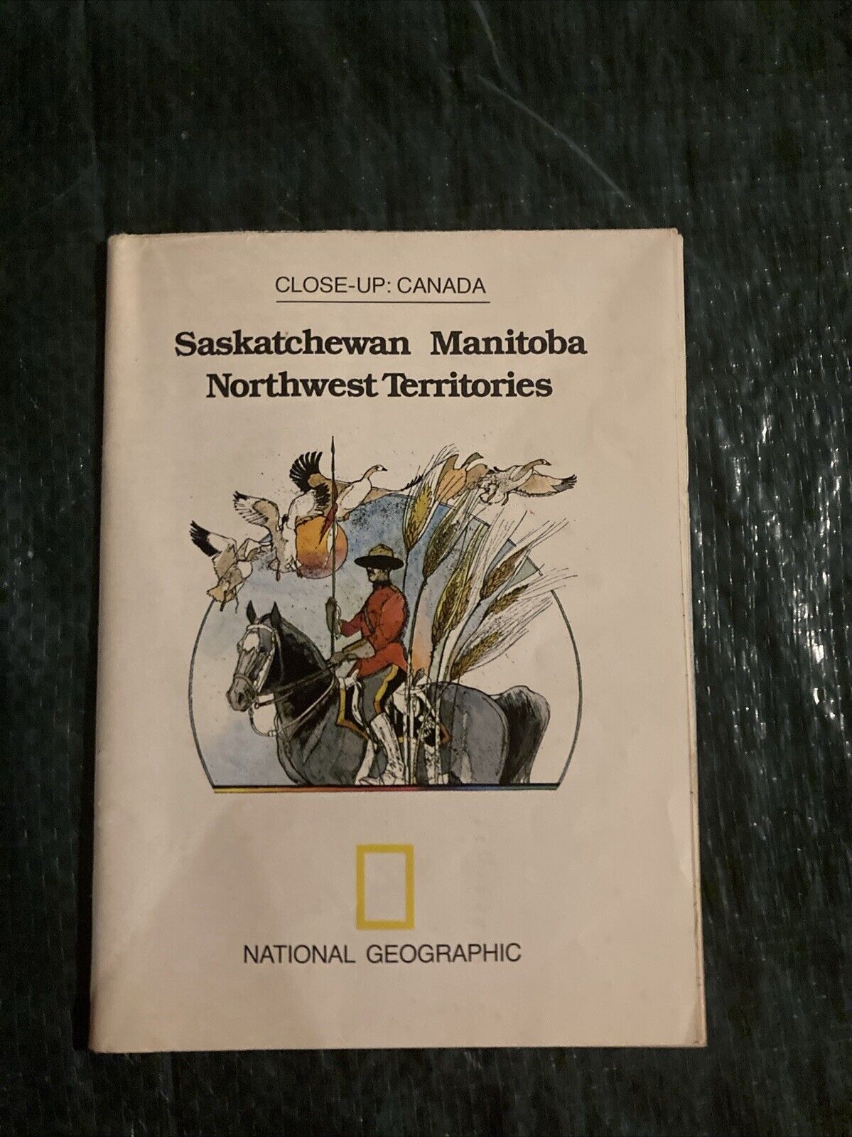
Single-side map in the classic National Geographic political style (shows country/state borders) of Canada (excluding the very northern islands) with portions of Alaska, Greenland, and the northern U.S. There are map insets of the entire Dominion of Canada, Precipitation and Temperature zones of the U.S. and Canada, and one of Natural Regions of the U.S. and Canada..
Map is approximately 27” x 39”.
The National Geographic is known for it's fine maps & detailed information.
Supplement to the National Geographic Magazine; magazine is not included.
Always use your cart when ordering more than one item!
U.S. Shipping
-
USPS Mail Service (average delivery time) .00 for the first item and 75
¢ for each additional item.


